
What is a map background?
It is the canvas used to display data on. Your map background gives geographical context and enables you to position yourself in terms of scale and location. For optimal results, your map background needs to be selected carefully depending on the type of data being showcased and the question you want answered.
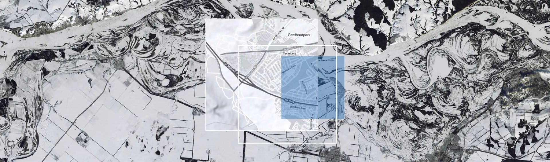
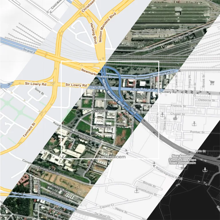
Satellite imagery is powerful when observing growing cityscapes, land development and our impact as humans on the landscape over time. There is also the quality of imagery one needs to keep in mind. How time-sensitive is the data you want to interrogate? Satellite imagery alone might give you the wrong answer, that is why it is important to back up the visuals of the map with accurate and verified data like roads, addresses and points of interest or landmarks.
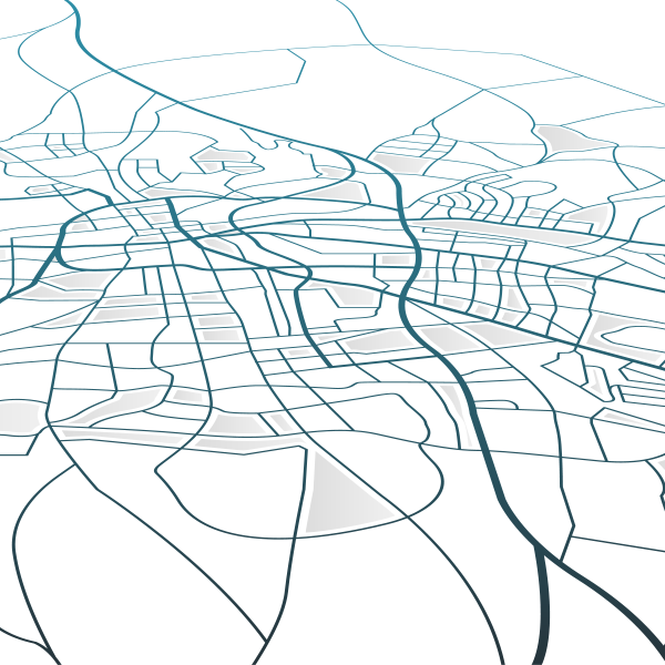
Vector maps are useful if you need a quick view of man-made features and don’t need to interrogate the landscape. Its main purpose is to summarise the landscape and assist the user to orientate themselves and discover locations. Vector maps can be customised, and the level of detail you want to show on the map is entirely up to you. Ultimately, the question you need answered will determine the type of map background you would need to showcase your data on.
Map Background Explained
The video below explains more on how Map Background works.
Possible uses:
- Showcase data on a vector or satellite map background.
- Examine the landscape on the map using satellite imagery.
- View changes over time in the landscape with satellite imagery.
- Confirm property boundaries.
- Accurately place data on a map by using satellite imagery to confirm locations.
- Available via API to integrate into your own solutions.
WHERE AfriGIS makes a difference with Map Background:
- Major telecom companies rely on map backgrounds to indicate where network coverage areas are.
- Data teams working with address validation and verification make use of both vector and satellite map backgrounds to ensure fast work processes and correct data.
- FMCGs make use of map backgrounds to visually indicate where their brands operate.
- The retail industry uses a map background and data to add insights to their store footprint.
Book a Teams Tour with one of our experts
or registerand try it yourself.
Trust us for
- SABS and ISO compliant Address data.
- Accurate and verified address results returned.
- Components available via API to integrate into your own solutions.
- Over 50 Million searchable address combinations.